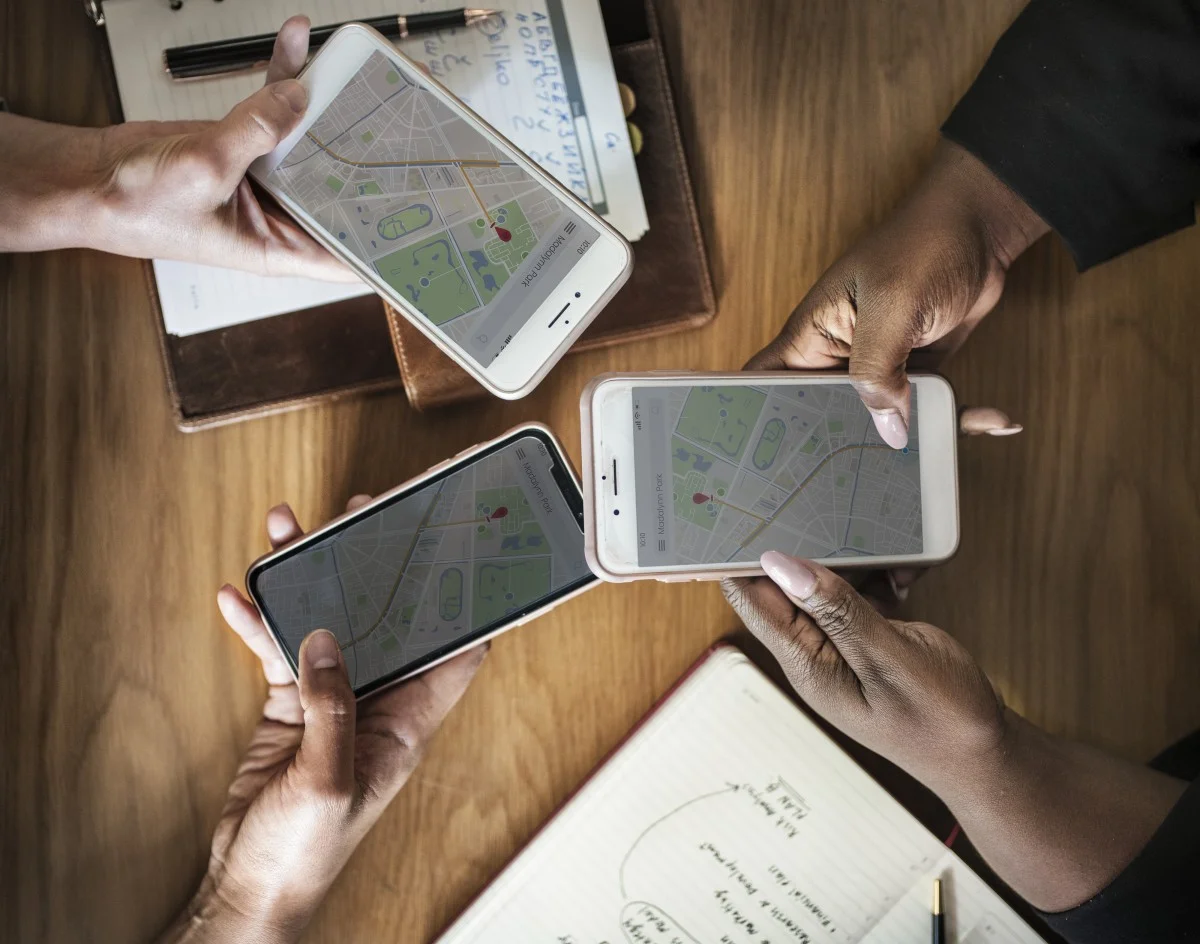
Geographic Information Systems (GIS) applications can connect museums with their communities in ways that make project management and decision-making informed and strategic. There are numerous ways that GIS maps can be used—they can provide a picture of who is visiting the museum and how they are interacting with the space once they are there. Additionally, they can aid visitors with their experience of museum collections.
Build Interactivity into Public Art: Technology Interventions
One key element that differs public art from art produced for display in museums and galleries is that public art is often site-specific. It is critical to make public art more reflective of the place and community in which it resides through interactive and participatory approaches. How can technology contribute to the systems and interventions designed to drive public engagement?
Connecting People to Place: How Digital Maps Advance Civic Engagement in the Cultural Sector
In a time where we can build and access a wealth of geographic information through our mobile devices and online, digital tools are being leveraged to make these kinds of civically engaged connections. Digital maps, in particular, have been built to service archival needs as well as transform the public’s interaction with art and archeological sites. By examining how organizations have deployed various digital map technologies in their work, we can also see how these tools have practical value and the potential to more broadly advance the cultural fields.


